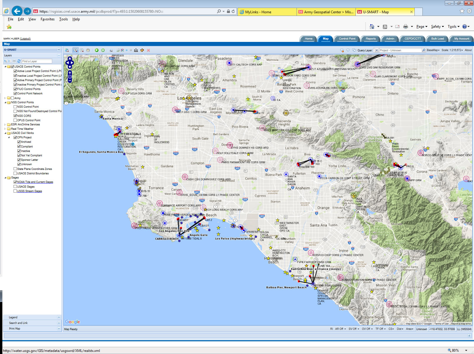
USACE Survey Monument Archival and Retrieval Tool
U-SMART is a web based map interface with a database of USACE survey control along with a PDF description form that facilitates compliance with current <a href="http://publications.usace.army.mil/publications/eng-regs/ER_1110-2-8160/toc.html" title="ER 1110-2-8160 - Engineering and Design - Policies for Referencing Project Evaluation Grades to
Nationwide Vertical Datums" target="_blank">regulations to document project control referenced to the NSRS
The description form can be used for importing, editing, and reporting. The form utilizes pulldowns, check boxes, radio buttons, etc for importing the monument's meta-data into the national database.
- Easy To Populate Pulldowns, Checkboxes, And Radio Buttons
- Images Populated Via Browse Function
- Completed By Field Crews/Contractors
- Imported Into U-SMART By DDC
Key Capabilibites Include:
- Serves as a liaison between our project control and the NGS BlueBook database
- Continually monitors the
NGS database looking for spatial changes and alerts the user of required updates to local control
- Hyperlinks To
NGS Datasheet And
OPUS-DB Datasheets
- Part of the suite of products under
CorpsMap
- Directly linked to projects in
CPN
- Versioning for archival of superseded control
- Links LPCPs to their PPCPs
Access to U-SMART (http://usmart.usace.army.mil):
In general, there are three levels of users: General Public; USACE Contractors, and USACE Districts
- General Public: Can search for control points (both NGS and USACE) and download/export them from the system.
- USACE Contractors: Can perform functions of general public and be assigned by a district user an id and password to enter data into the system for that specific district.
- USACE Districts (via CAC login): Can perform all functions of general public and allows the user to perform administrative functions, modify control point meta-data, create control point linkages, and associate control points with their projects. These function are broken into three roles:
District User Administrator - manage users within a district;
District Control Point Manager -manage control points within a district;
District Super User - Manage users and control points within a district.
Contact the U-SMART Admin for more info on user roles.
Video Tips:
- Finding a point on the map
- Linking LPCPs to a PPCP
- Changing the map's background
- Multi-Query
Instructions for loading DoD Security Certificates
U-SMART Admin(s): Mark Huber: Mark.W.Huber@usace.army.mil
Jim Garster: James.k.Garster@usace.army.mil
USACE User Only: Visit the Surveying and Mapping Community of Practice SharePoint for discussion on U-SMART (http://cops.usace.army.mil/sites/EC/SM/default.aspx)